Green Corridor
Turning Cape Town’s ambulance ‘red zones’ into green corridors.
2024–2026 · Service design · Community research · Civic innovation
- grant awarded
- $149,994
- grant awarded
- months on the ground
- 24
- months on the ground
- academic partners
- 6
- academic partners
- women nominated
- 50+
- women nominated
the story
I co-wrote a $149,994 grant and worked on the ground in Cape Town to turn local knowledge about safety and care into spaces and tools.
problem
In ‘red zones’, ambulances wait for police escorts, and people wait for care.
my role
Collaborator & Research Assistant · Grant co-author
what I did
Co-wrote the winning grant, ran interviews and mapping, and made workshops, surveys, drawings and a mural.
result
A funded project, a built mural, an EMS working group on ‘red zone’ policy and 50+ women recognised.
details
- duration
- Oct 2024 – Jun 2026
- collaborators
- Maurice Cox, Emma Bloomberg Professor in Residence of Urban Planning and Design, Harvard GSD · Dr Leanne Brady, ambulance service manager · UWC · UCT · Harvard Chan · MIT
- funders
- Motsepe Foundation · Harvard Office of the Vice Provost for Research · Harvard Center for African Studies: $149,994 through the Harvard University Motsepe Presidential Research Accelerator Fund for Africa
01The brief
Turn a question into a funded project
Since 2016, ambulances in Cape Town’s ‘red zones’ must wait for armed police escorts. The waits deny people care, and sometimes cost lives.
The question we set ourselves: could public space make these neighbourhoods safer for ambulances and residents alike?
I co-wrote the proposal that won $149,994 to find out.
02Plan
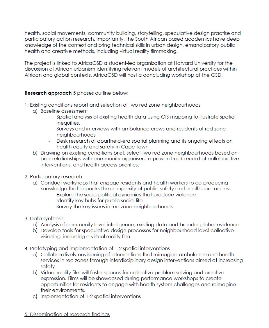
Five phases, written into the grant
I helped shape the plan, from mapping health data to a toolkit and policy agenda for local government.
- Baseline mapping
- Workshops
- Synthesis + VR film
- Interventions
- Toolkit + policy
03The challenge
The data didn’t exist
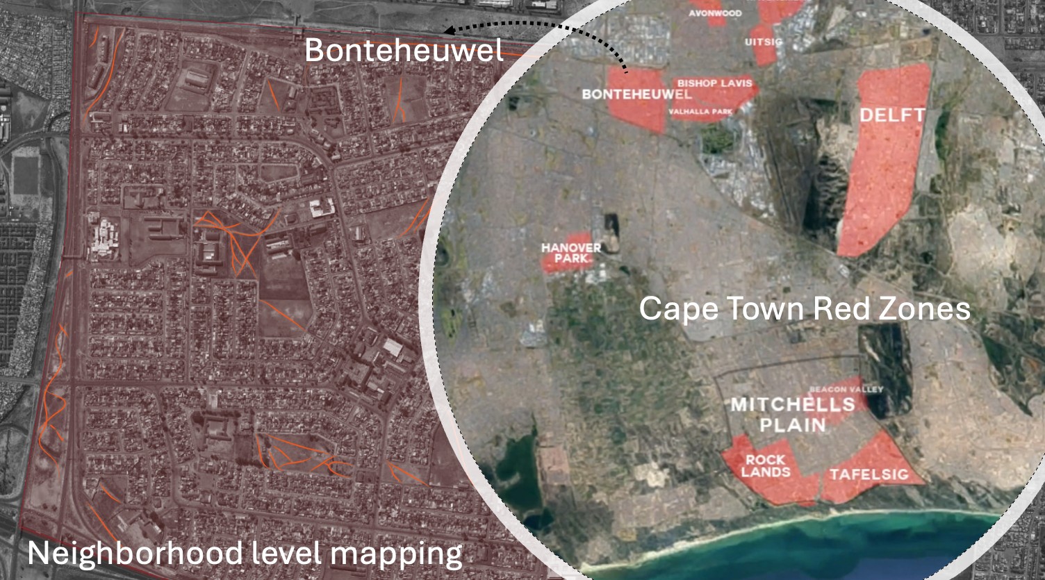
Official safety data was incomplete or restricted. We couldn’t map what we couldn’t see.
Working across five institutions and three neighbourhoods, priorities on the ground also shifted faster than plans.
Budgets and priorities shifted as details emerged: the mural wasn’t in the original plan and needed more money.
Much of community life happened outside office hours, so I learned to work flexibly.
And trust had to be rebuilt between residents, volunteers and government, then sustained between EMS and the community.
04The shift
From red zones to green corridors
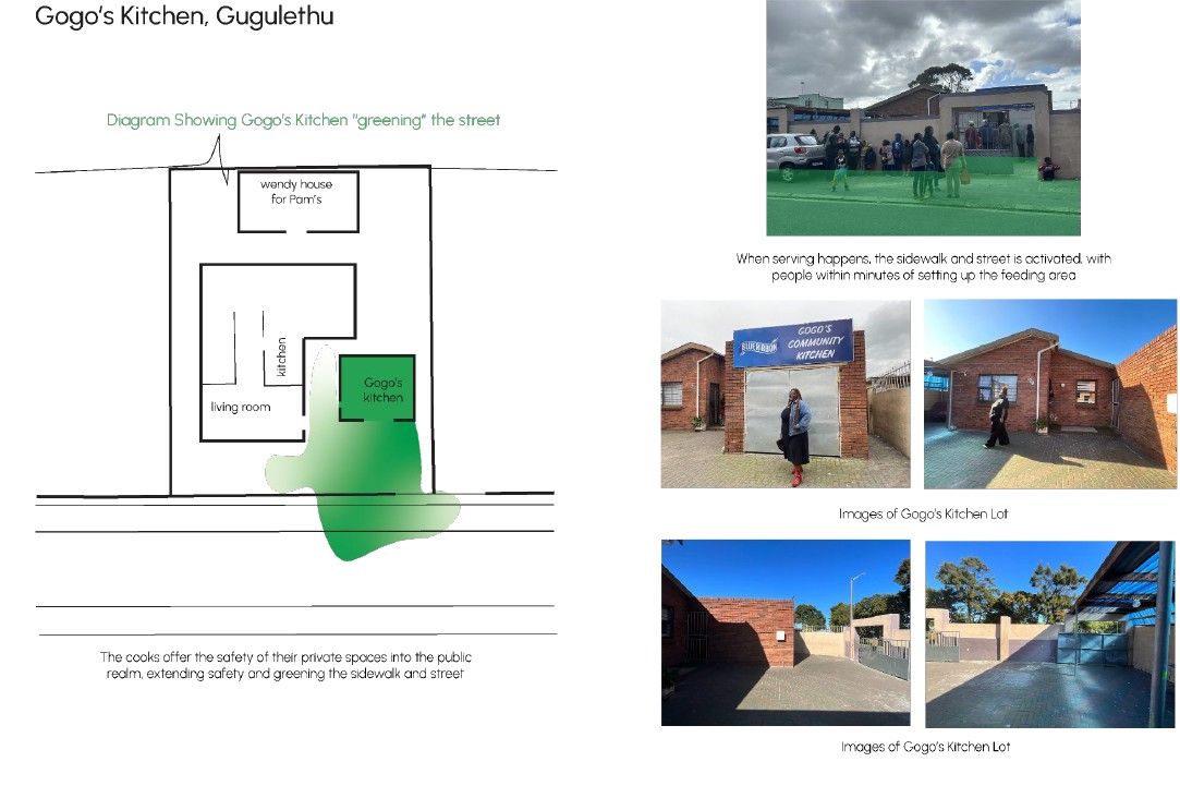
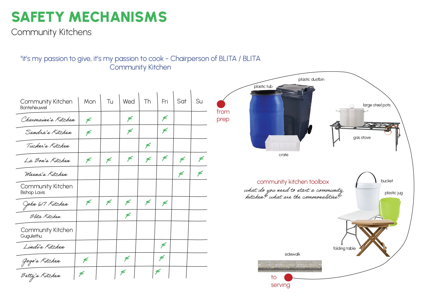
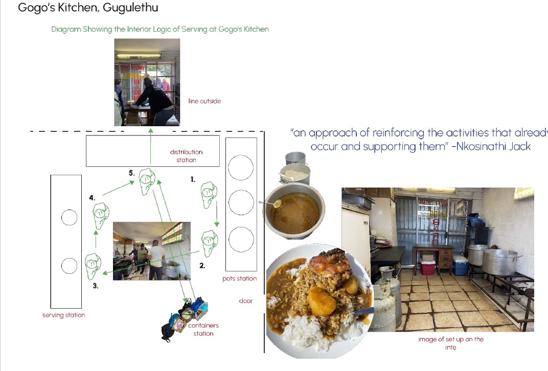
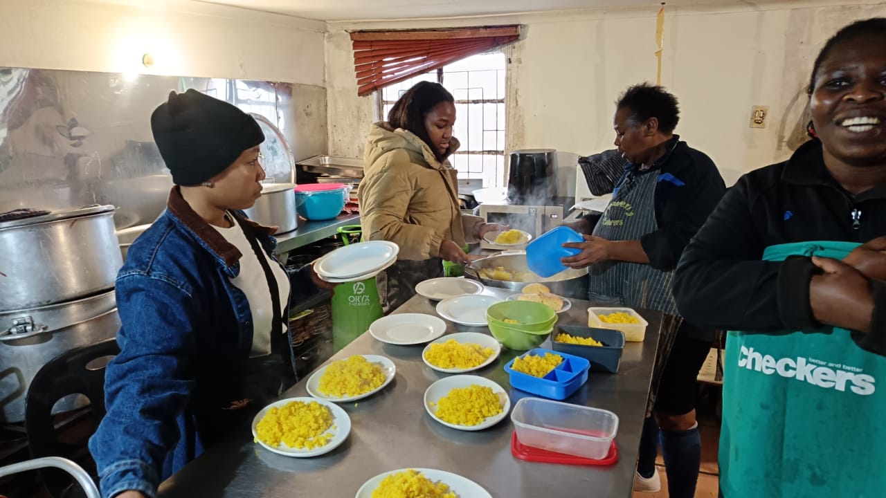
Residents already knew where safety lived: in kitchens, gardens, and the women who run them.
| from | to |
|---|---|
| Risk defined from outside | Safety defined by residents |
| Waiting for official data | Recording community knowledge |
05Method
Close enough is good enough
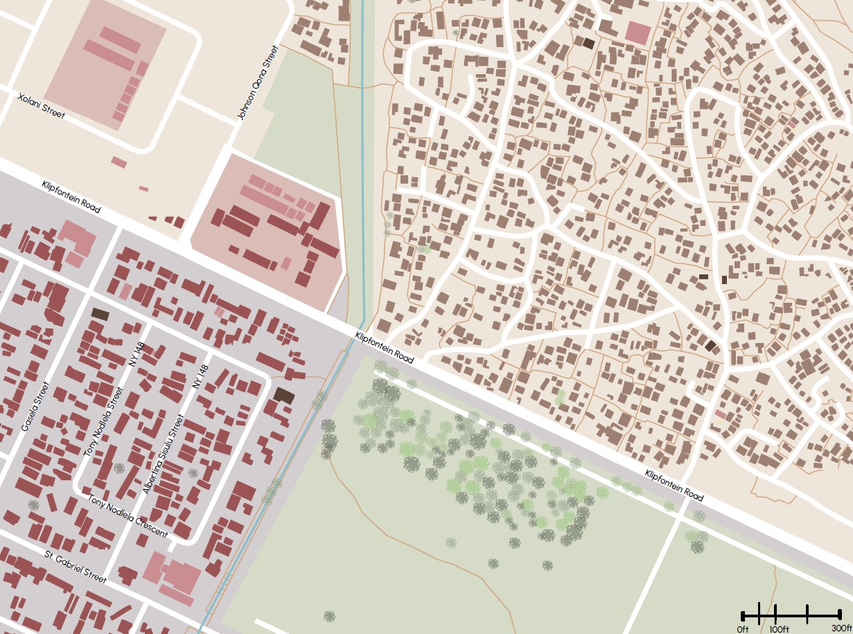
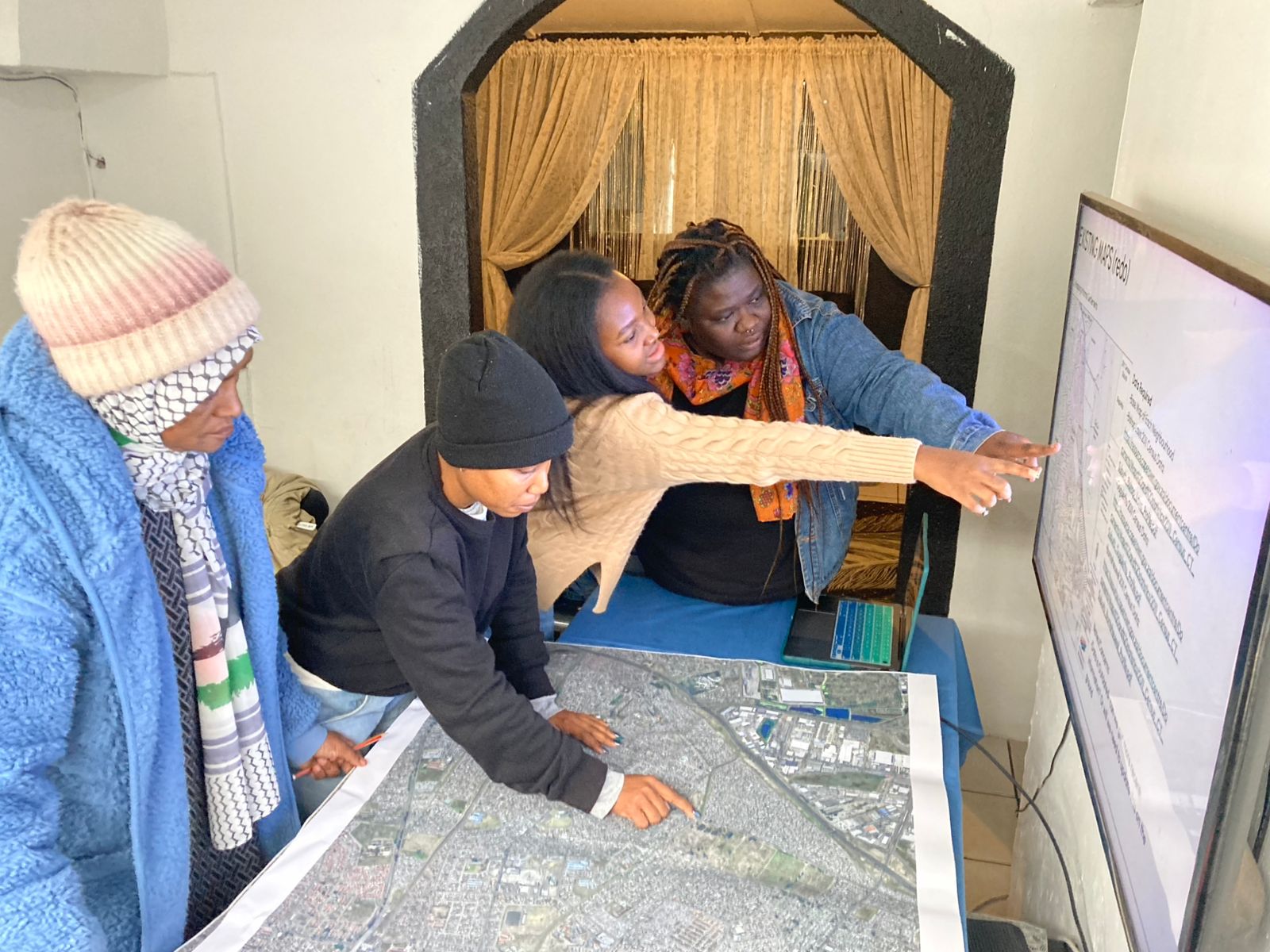
Our mapping didn’t need the precision of building footprints. We gathered point data for each neighbourhood, with local experts helping us read it: is each rooftop a family, or does a cluster of buildings hold one family?
Then we sampled: if a pattern held in one part of a neighbourhood, it was likely repeated in others.
06Engage
Designing with, not from a distance
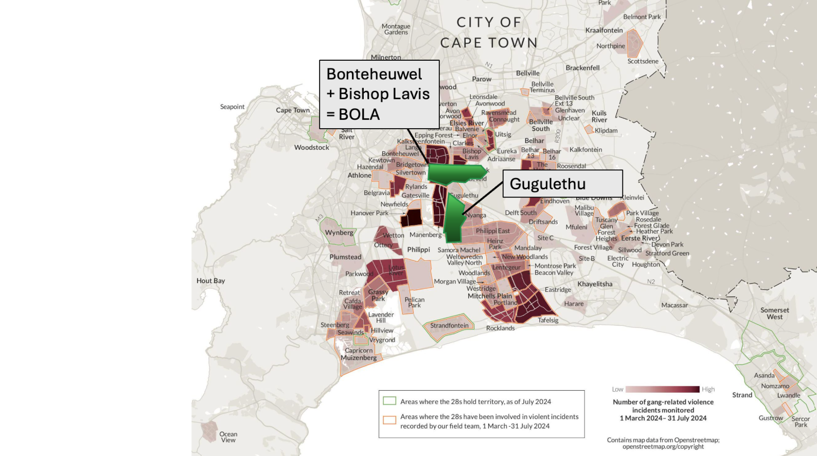
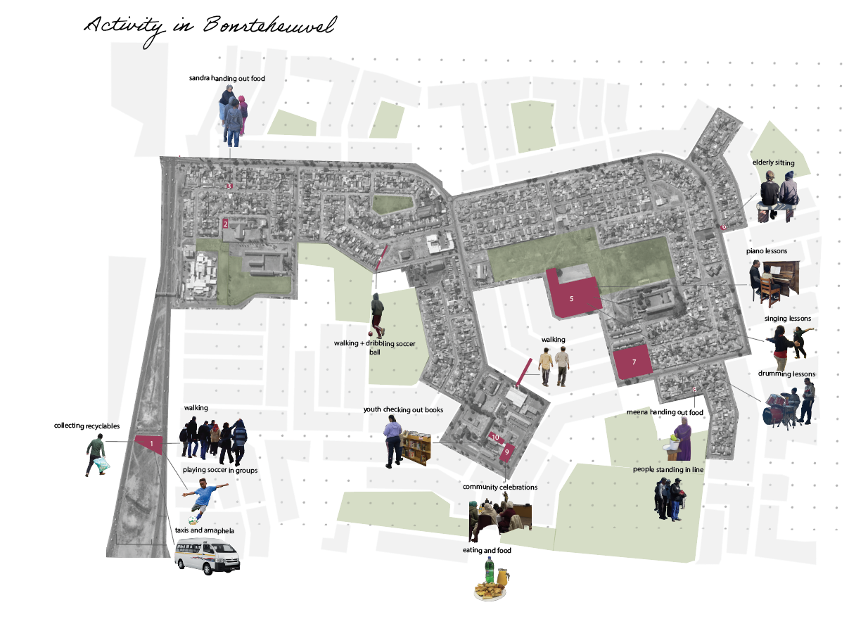
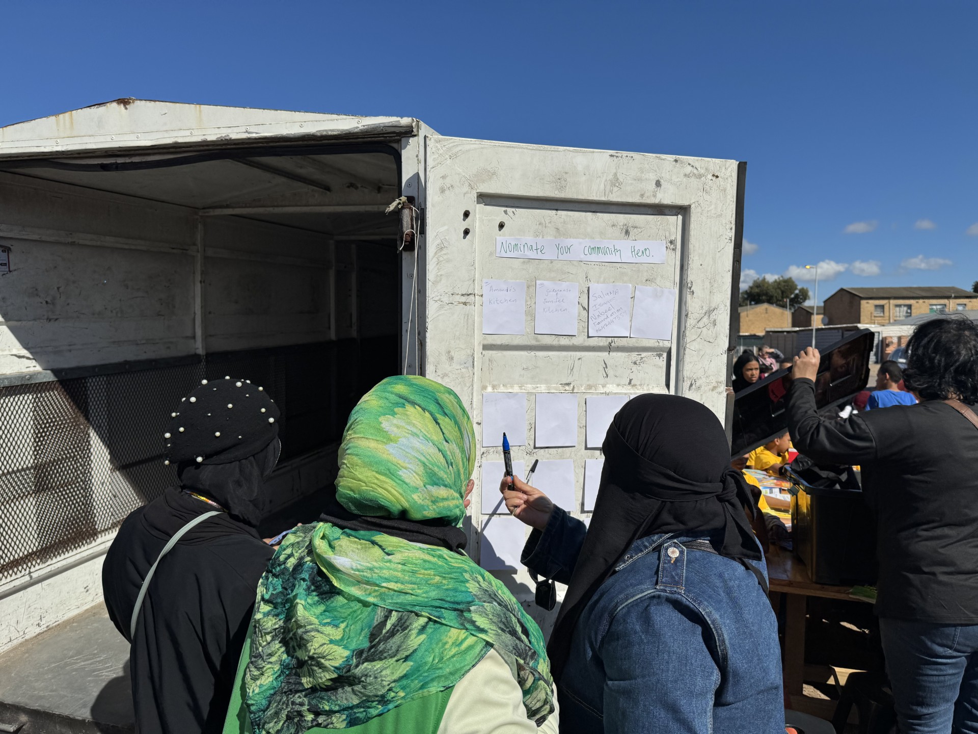
Over two years I interviewed organisers, health workers and residents in Gugulethu, Bonteheuwel and Langa, and mapped who people turn to for safety.
07Make
Surveys, drawings and a mural
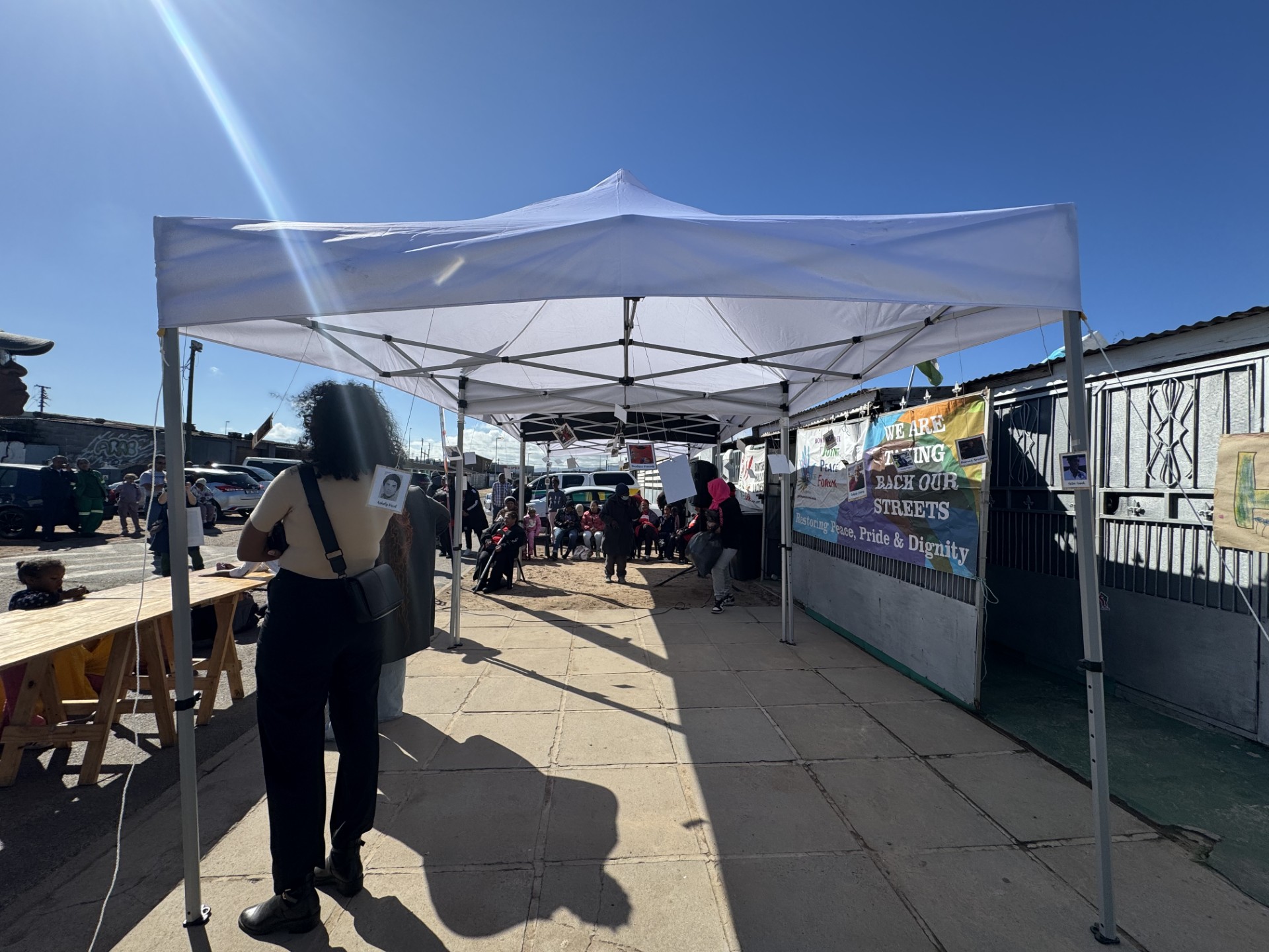
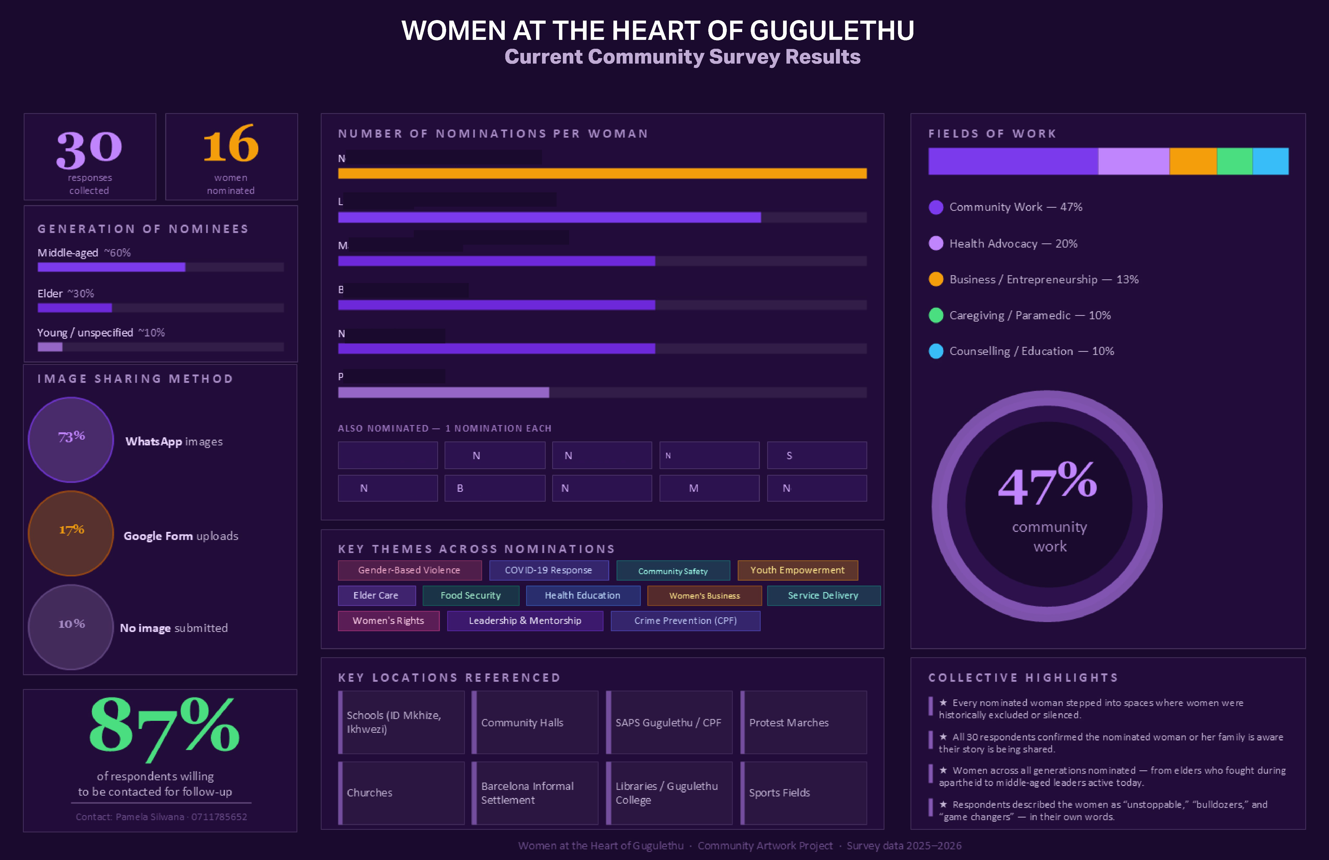
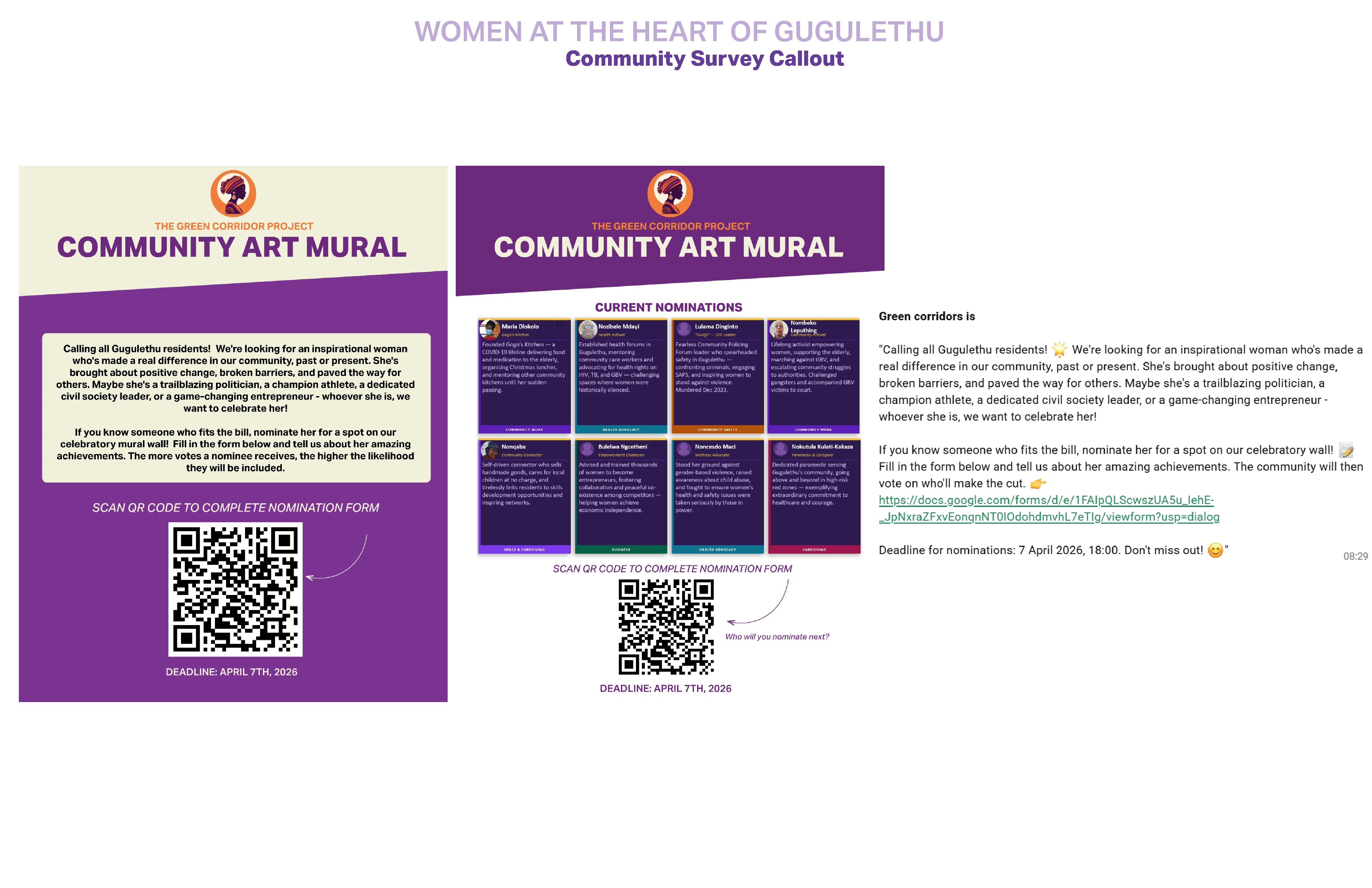
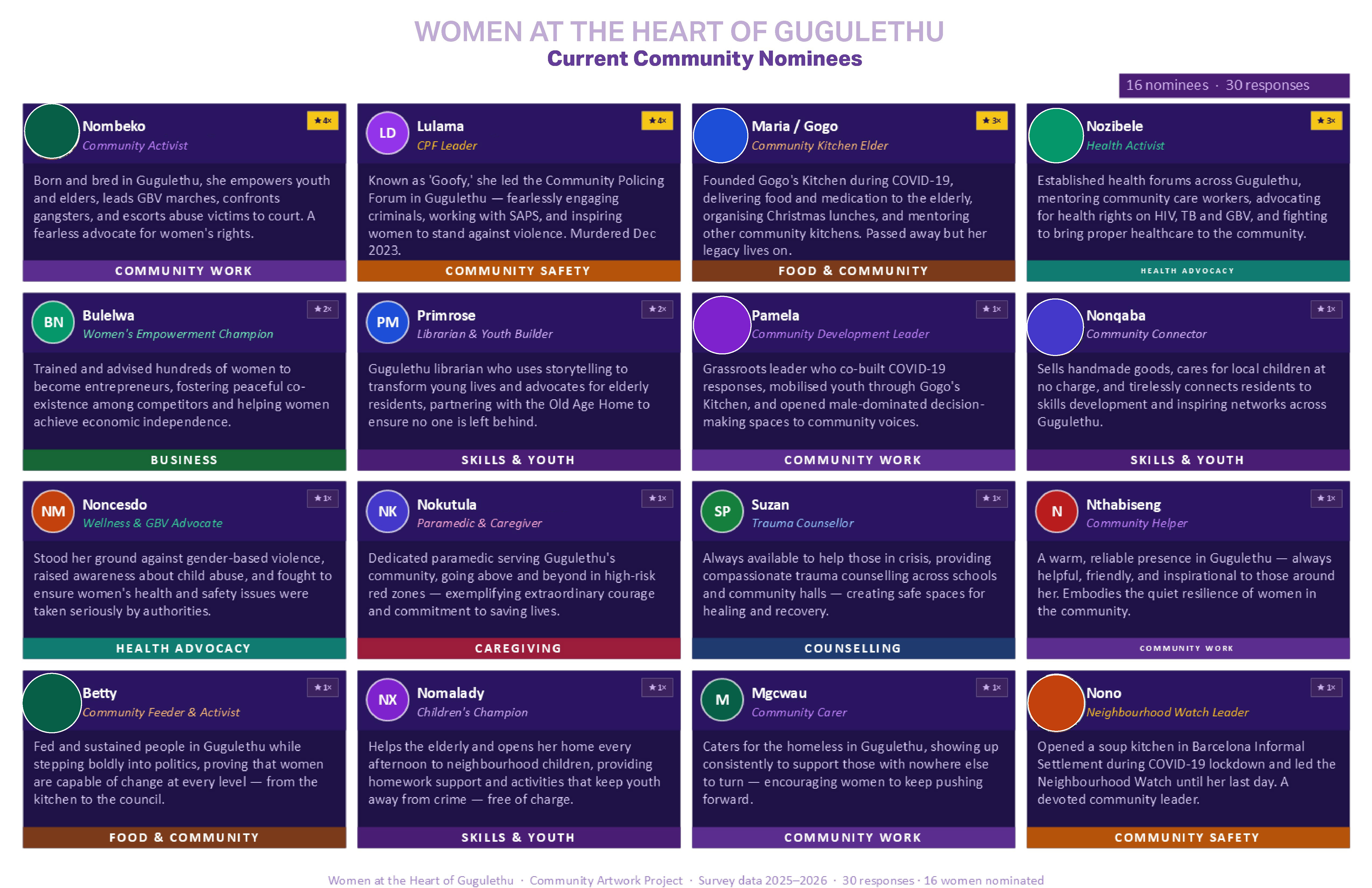
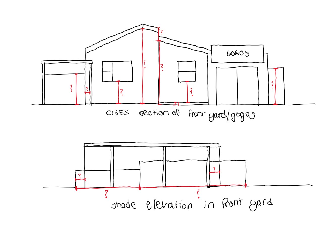
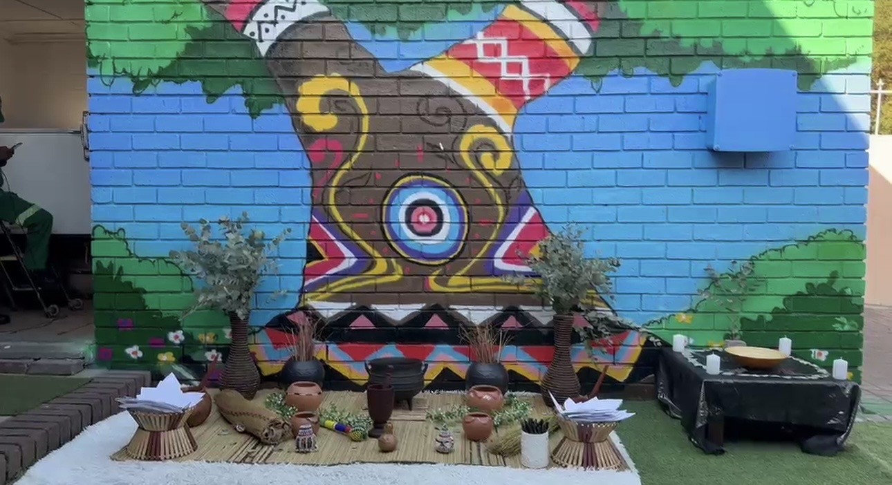
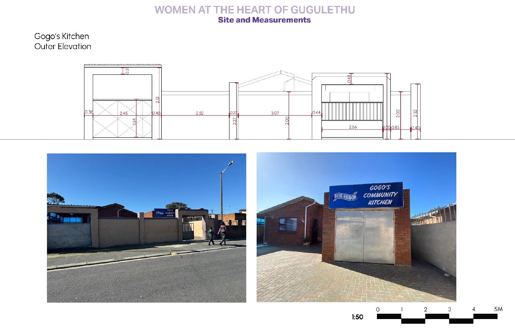
I made workshop materials, community surveys, spatial drawings and recommendations, and helped plan four community workshops with local artists and a virtual reality film.
08Outcome
Built, activated, institutional
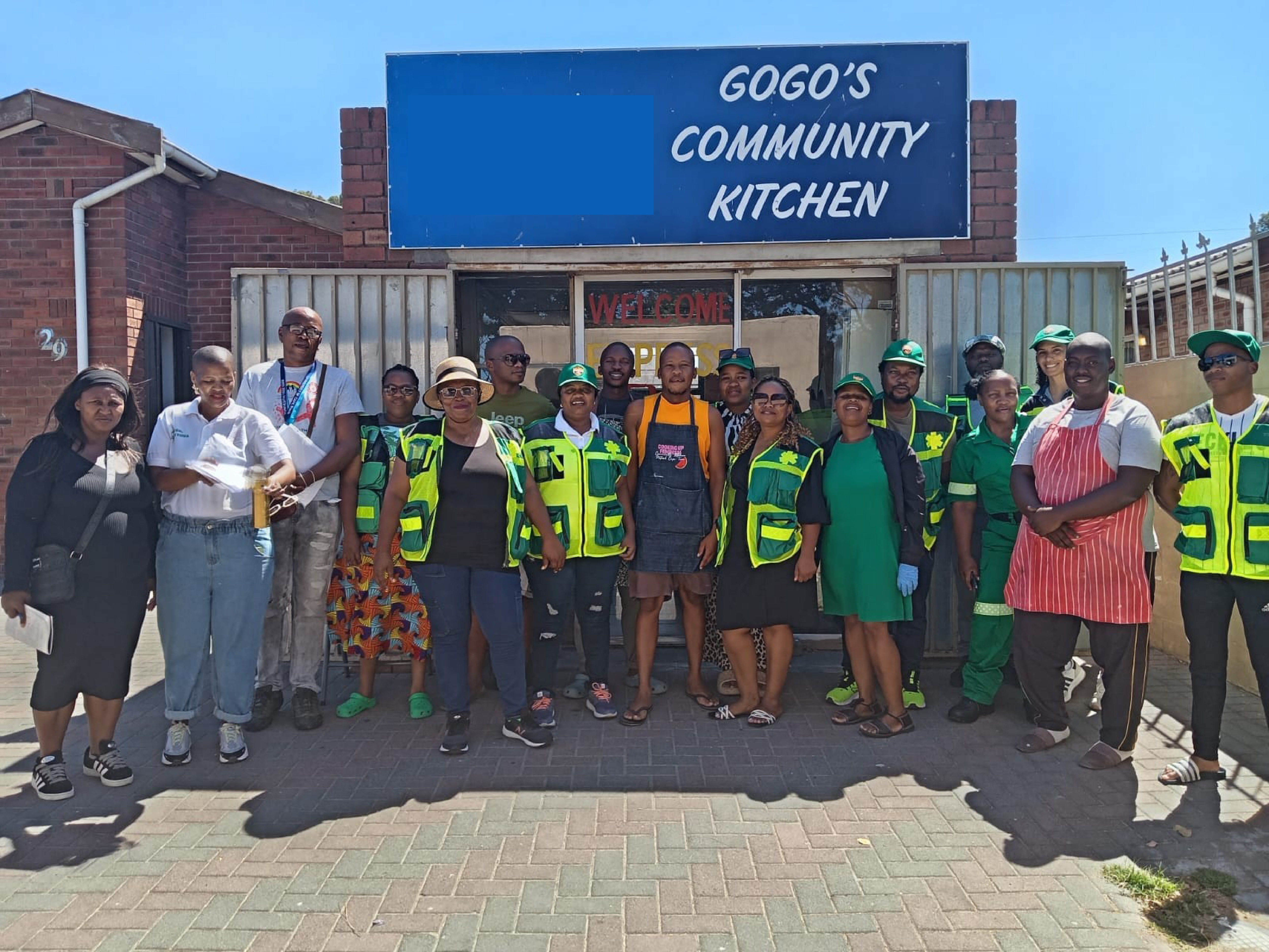
Built: a mural at Gogo’s Kitchen. Activated: community groups talking again.
Institutional: an EMS working group on ‘red zone’ policy. Community: 50+ women recognised as local leaders.
/images/green-corridor/04.jpgimpact
- ResidentsLocal knowledge taken to institutionsMaps, surveys, nominations
- EMSA route to rethink ‘red zone’ practiceWorking group
what I learned
- Trust is the infrastructure.
- Missing data is a design brief.
tools
- Grant writing
- GIS mapping
- Interviews
- Workshops
- Speculative design
- Mural co-design
credits
- Maurice Cox, Emma Bloomberg Professor in Residence of Urban Planning and Design, Harvard GSD
- Dr Leanne Brady, ambulance service manager